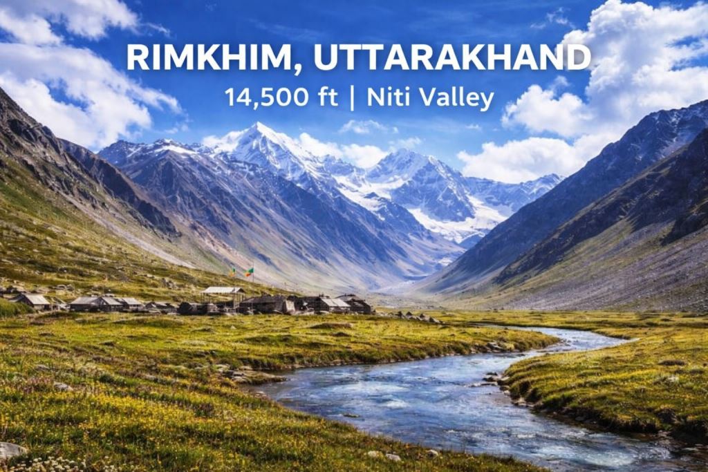
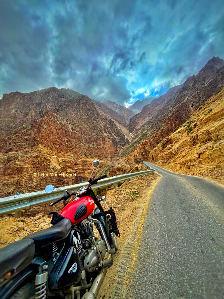
Barahoti, also known as Bara Hoti, Hoti Plain, or Rimkhim, is a high-altitude alpine meadow situated at 14,500 feet in the remote Niti Valley of Uttarakhand. Located approximately 100 km from Joshimath and about 40 km from Malari village towards the Sumna–Lapthal border, Barahoti is one of the most sensitive and historically significant regions along the India–China border.
This vast, sloping plain spreads across roughly 1.5 square miles (3.9 km²) and lies in the Chamoli district of Uttarakhand.
⚠️ Important Note: A special Inner Line Permit (ILP) from the SDM Joshimath is mandatory to visit Barahoti.
Location & Geographic Importance
Barahoti lies in the “middle sector” of the disputed Sino-Indian border. The entire surrounding region of nearly 750 square kilometers is often referred to as the Barahoti–Sangchamalla–Lapthal Disputed Area.
Situated on the banks of the Hoti River (Yong Gad)
About 4 km southwest of Tunjun La
Main pastureland lies on the northeastern side of the Hoti Ridge
Falls on the Gangetic side of the watershed, which aligns with the current Line of Actual Control (LAC)
This region is strategically crucial because it lies between major Himalayan water systems and forms a natural corridor between valleys.
Access Routes to Barahoti
Barahoti can be reached from the Niti Valley via two high mountain passes:
Chor Hoti Pass
Marchok La Pass
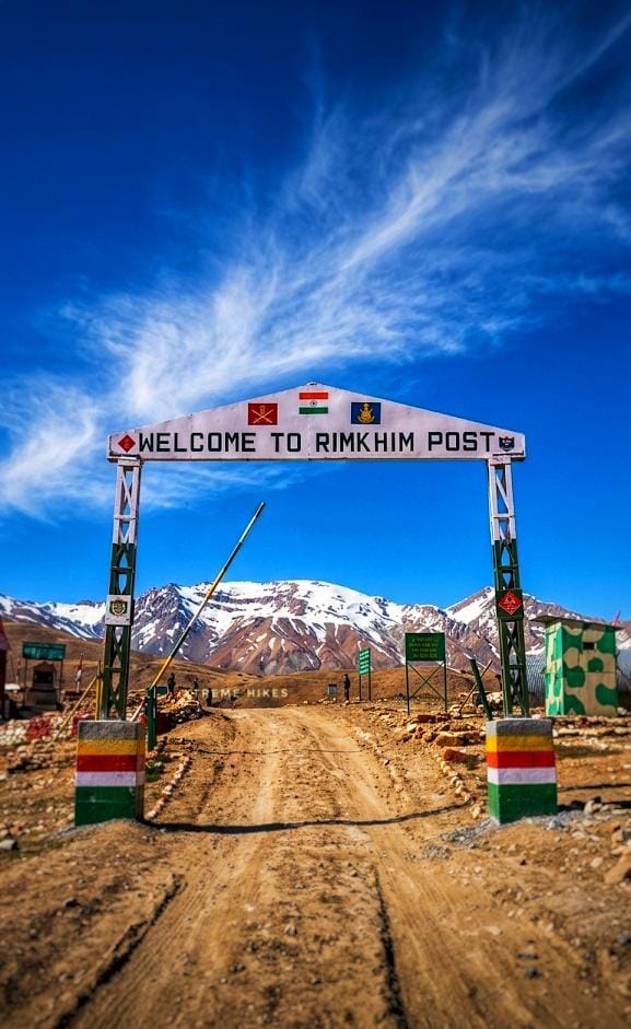
Both passes descend into the Rimkim Gad valley, at the base of which lies Rimkhim, where India currently maintains a Border Police post.
The terrain includes:
Vast grasslands
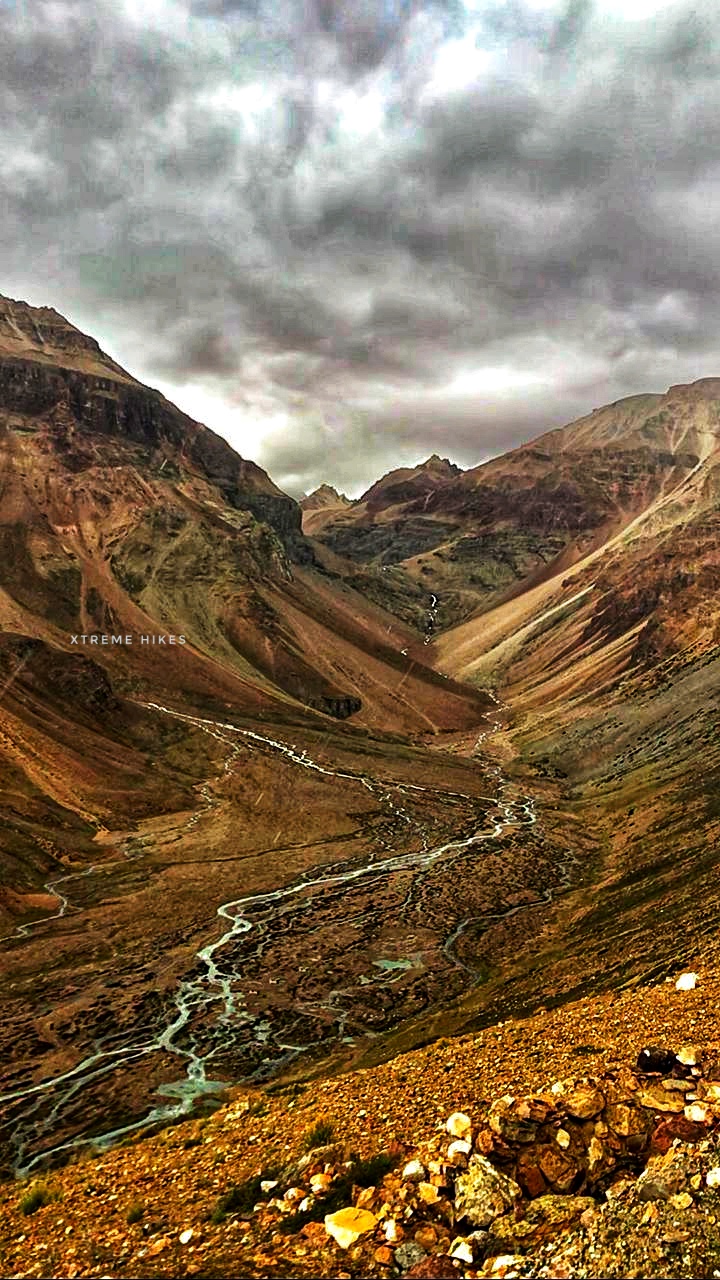
Glacial streams
Rocky ridges
High-altitude cold desert landscapes
Travel is extremely restricted and controlled due to its sensitive nature.
Historical Background
Barahoti holds a significant place in India–China border history:
In 1954, Barahoti became the first Indian territory officially claimed by China.
In 1960, China expanded its claim to include Lapthal and Sangchamalla, stating that all three form a single disputed region.
The area remains a point of diplomatic and military sensitivity between India and China.
Despite the dispute, the entire region geographically lies within Indian-administered territory in Uttarakhand.
???? Natural Beauty & Landscape
Even though access is limited, Barahoti is known for:
Endless alpine meadows
Rare Himalayan flora
Grazing grounds traditionally used by local communities
Stunning views of surrounding Himalayan ridges
Raw, untouched high-altitude wilderness
The silence here is something else. No commercial tourism, no hotels — just pure Himalayan terrain.
Permit Information
To visit Barahoti:
Obtain special permission (pass) from SDM Joshimath
Carry valid ID proof
Coordinate with local administration
Foreign nationals are generally restricted
Due to military sensitivity, spontaneous travel is not allowed.
Quick Facts
Feature
Details
Altitude
14,500 ft
District
Chamoli
Valley
Niti Valley
Distance from Joshimath
~100 km
River
Hoti River (Yong Gad)
Dispute Status
India–China disputed middle sector
Permit Required
Yes (SDM Joshimath)
✨ Why Barahoti Matters
Barahoti is not just a remote meadow — it is:
A geopolitically sensitive Himalayan frontier
The first flashpoint of India–China territorial claims
A pristine, restricted high-altitude ecosystem
A lesser-known chapter of Uttarakhand’s border history
For researchers, defense enthusiasts, and serious Himalayan explorers, Barahoti represents one of the most intriguing high-altitude regions of India.
Final Thoughts
Barahoti / Rimkhim is where history, geopolitics, and raw Himalayan wilderness intersect. Hidden deep inside the Niti Valley of Uttarakhand, it remains one of the most restricted yet fascinating landscapes in the Indian Himalayas.
If you’re passionate about remote Himalayan frontiers and untold stories, Barahoti stands as a silent witness to history at 14,500 feet.
How They Connect Geographically
Location
Role
Distance Relation
Joshimath
Base town
Starting point
Mana
Spiritual border village
~45 km from Joshimath
Niti Valley
Strategic valley
~90–100 km from Joshimath
Rimkhim
High-altitude disputed meadow
Deep inside Niti Valley
Why You Should Travel to Rimkhim (Barahoti Region), Uttarakhand
1️⃣ To Witness One of India’s Most Restricted Himalayan Frontiers
Rimkhim lies deep inside the upper Niti Valley, near the disputed Barahoti plain along the India–China border.
2️⃣For Raw, Untouched Himalayan Landscapes
No hotels. No cafés.
4️⃣ To Experience True Isolation
Most Himalayan destinations are now commercial.
Rimkhim isn’t.
You won’t hear generators. You won’t see plastic waste. You won’t see traffic.
Book your ride/tour in High Altitude Terrain in Uttarakhand Garhwal Himalayas with Extreme Hiker. Thank you…||
Niti Pass Hidden deep in the northernmost folds of Uttarakhand lies a place where history whispers through the mountains and the wind carries stories of ancient trade caravans — Niti
Mana pass If you’re someone who feels alive when the road gets rough, the air gets thinner, and the mountains start testing your limits — Mana Pass might just be
Lapthal Lapthal is a breathtaking cold desert located at an altitude of 14,200 feet in Uttarakhand, right along the international border with Tibet (China). This remote Himalayan landscape sits between